Latest News

2013
October 23, 2013

Online Mapping of other NMRS Mining databases

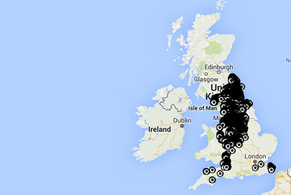
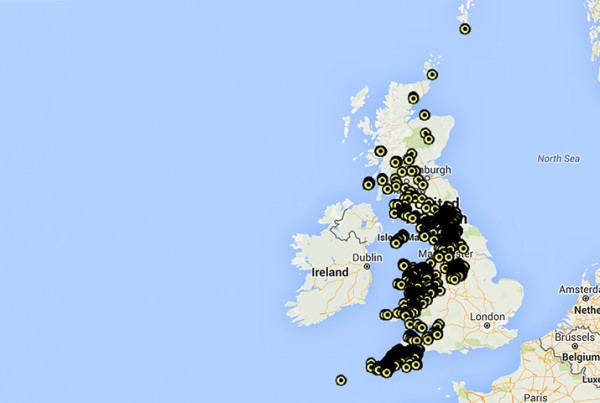
We are proud to make these valuable tools freely available to anyone interested in UK extractive industries: Non Ferrous Mines Iron Mines Quarries Salt & Anhydrite Mines On shore Oil & Gas Please report any errors or omissions to us so that we can update the databases and maps.
Read More
2013
September 30, 2013

Online Mapping of NMRS Colliery Database

We have just made available the NMRS database of some 23,000 Collieries in the British Isles as an overlay on Google Maps & Earth. Clicking on a marker pin will reveal more information about that colliery including, its name (the name is already displayed on the Google Earth version), when it…
Read More
2013
September 23, 2013

Archaeological Excavation of a Potential Bale Site

A potential lead bale site at SE 05939 99141 was found in 2012 and was excavated as a joint project in the summer of 2013 by the Swaledale and Arkengarthdale Archaeology Group (SWAAG) and the Northern Mine Research Society (NMRS) under the supervision of professional archaeologist, Tony Liddell of Vindomora…
Read More
error: Content is protected !!