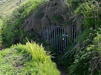
North Star Coal Mine, adit entrance
Copyright © Anne Burgess and licensed for reuse under this Creative Commons Licence
The geology of this small coalfield in Antrim is more like that at Machrihanish in Kintyre, 40 km to the north-east, than any location in Ireland. The coals were of poor quality and varied in thickness from less than 20 inches up to 55 inches. From the lowest upwards, the seams were: Stronbane Coal, Middle Till, Wee Coal, Main Coal, Hawk’s Nest Coal, Splint Coal and the Bath Lodge Coal. This spans the boundary between the Visean and the Namurian stages, with the base of the latter taken as being at the horizon of the Main Coal.
The seams dip to the north and outcrop in the sea cliffs which meant that they could be worked by driving adits southwards, up the dip. This made haulage easier and helped drainage. The coal has been worked since the 16th century, with later workings spreading further inland. The last mine to close was Craigford (1953-1967)
Further information:
Irish maps viewer
Ballycastle Coalfield
NMRS online mapping of the collieries of the British Isles
