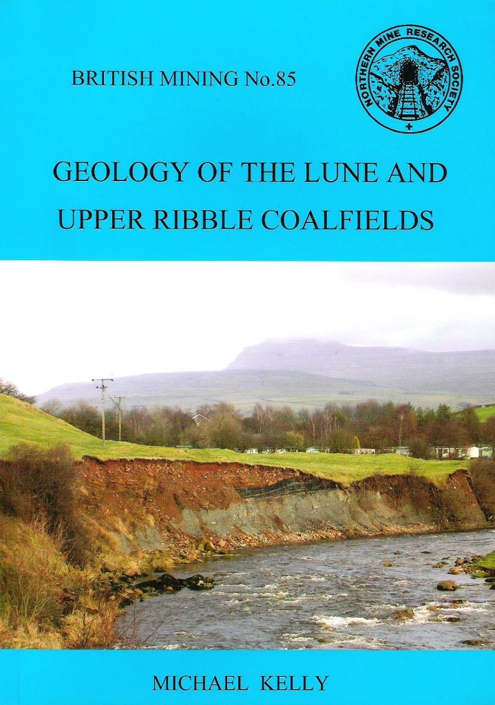
British Mining No 85 – Geology of the Lune and Upper Ribble Coalfields
By Michael Kelly
For several centuries, the seams of the Rivers Lune and Upper Ribble were an important local resource, producing coal for domestic and small scale industrial use in forges, potteries, brick kilns, limekilns and smelting mills.
This monograph covers the geological environment of the Carboniferous period and coal formation processes. The geology and and some of the history of the coalfields is discussed and there are geological maps of the areas with coal workings and some limekilns are shown.
The areas stretch from the Rawthey Vally in the north to Caton and Quernmore in the south and Fountains Fell in the east.
The Ingleton/Burton coalfield is covered in detail and this is a complement to British Mining 76 – “Ingleton Coalfield”. The monograph concludes with a description of the techniques used for mining in the area and patterns of usage.
A5 84pp, 35 figs
ISBN-13: 978-0-901450-64-7
(NMRS members discount 25%)
Booksellers and trade terms on request
Look Inside to see some sample pages including the table of contents.
The index is also available to view.
£10.00


